With a surface of over 1500 square kilometers, the limestone massif of Matese stretches between Molise and Campania and falls within the territory of four provinces.
If its highest peak (Mount Miletto) rises in the Molise area, it is on the Caserta side that the highest of Campania is located, La Gallinola of 1923 meters. Followed by Mount Erbano 1385 and Mount Maio.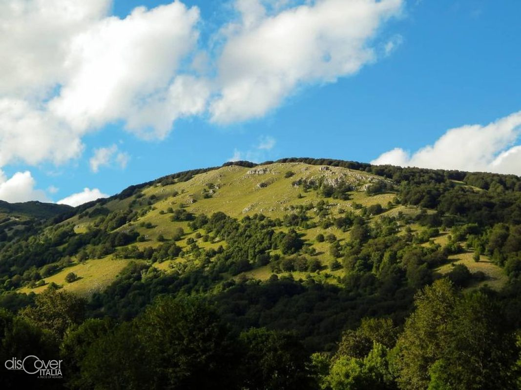
Arranged in the shape of an ellipse, the mountain massif extends from north-west to south-east for 74 kilometers. To the north it is delimited by the mountains of Mainarde and Maiella, to the south by the Taburno-Camposauro del Sannio massif, to the east by the pre-Apennine area of Molise, while to the west it overlooks the valley of the Middle Volturno, in Campania felix. It looks like a vast karst plateau with two ridges separated by a central depression, in which there are the three lakes: Matese, Gallo matese and Letino. Due to its limestone conformation, the massif is characterised by typical karst phenomena: deep canyons and valleys, caves, crevasses, sinkholes and fields of dolines at high altitude. The rivers that cross it flow partly externally, in other sections they are lost in the sinkholes connected to resurgences.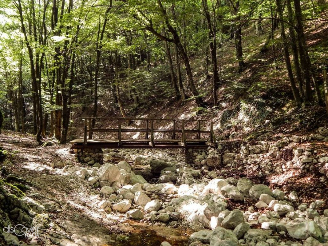
The territory of the Campania park falls entirely within the Matese regional park.
Ph: Martina Menditto

Comments powered by CComment