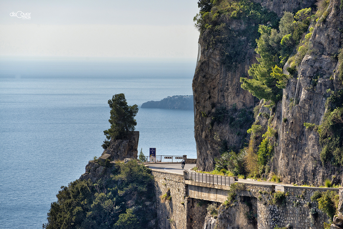
Fifty kilometers of beauty. Unfolding through winding the rocks overlooking the sea. It is one of the wonders of the Amalfi Coast, the road connecting all its towns for one hundred and seventy years.
 Previously there were stairways for short routes and mule tracks for longer ones, through inaccessible places, unknown to strangers, allowing to escape safely on the mountains, when the Saracens landed invading coastal towns. Scenic and hard routes, faced several times a day, with the weight of the products of the land and sea to be exchanged between one town and the other. The necessity of overcoming those very tiring paths, finally making accessible the places to travelers who went further and further south, started at the beginning of the French decade, when Giuseppe Bonaparte sat on the throne of Naples.
The work, supported by the people of the Coast, was subject of a long discussion, before being approved with general consent. Thus, the work could begin in 1811 and continued even after the Bourbon restoration in 1815. But during construction, the original project had some variations. In 1830, in particular, while the stretch between Amalfi and Maiori was nearly completed, it was decided to modify the route, reaching after Maiori, Capo d’Orso and Vietri. It was April 26, 1850 when the feat was finally done, giving green light to the use of the new Amalfi state road, which took the name of Nastro Azzurro (Blue Ribbon).
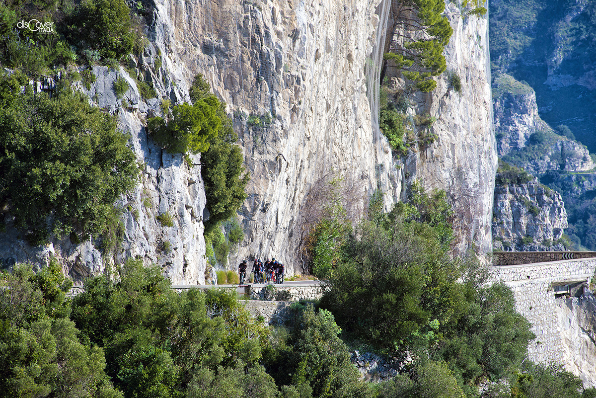
The road, magnificent in all its length, starts in Meta di Sorrento from Sorrento state road and continues along a hilly stretch in Piano di Sorrento, and then runs along the southern part of the Peninsula, in Vico Equense area. From there, Amalfi itinerary begins up to Vietri sul Mare, with bends in succession from which one can admire the amazing views of the villages enclosed in the beautiful coastal inlets.

Comments powered by CComment