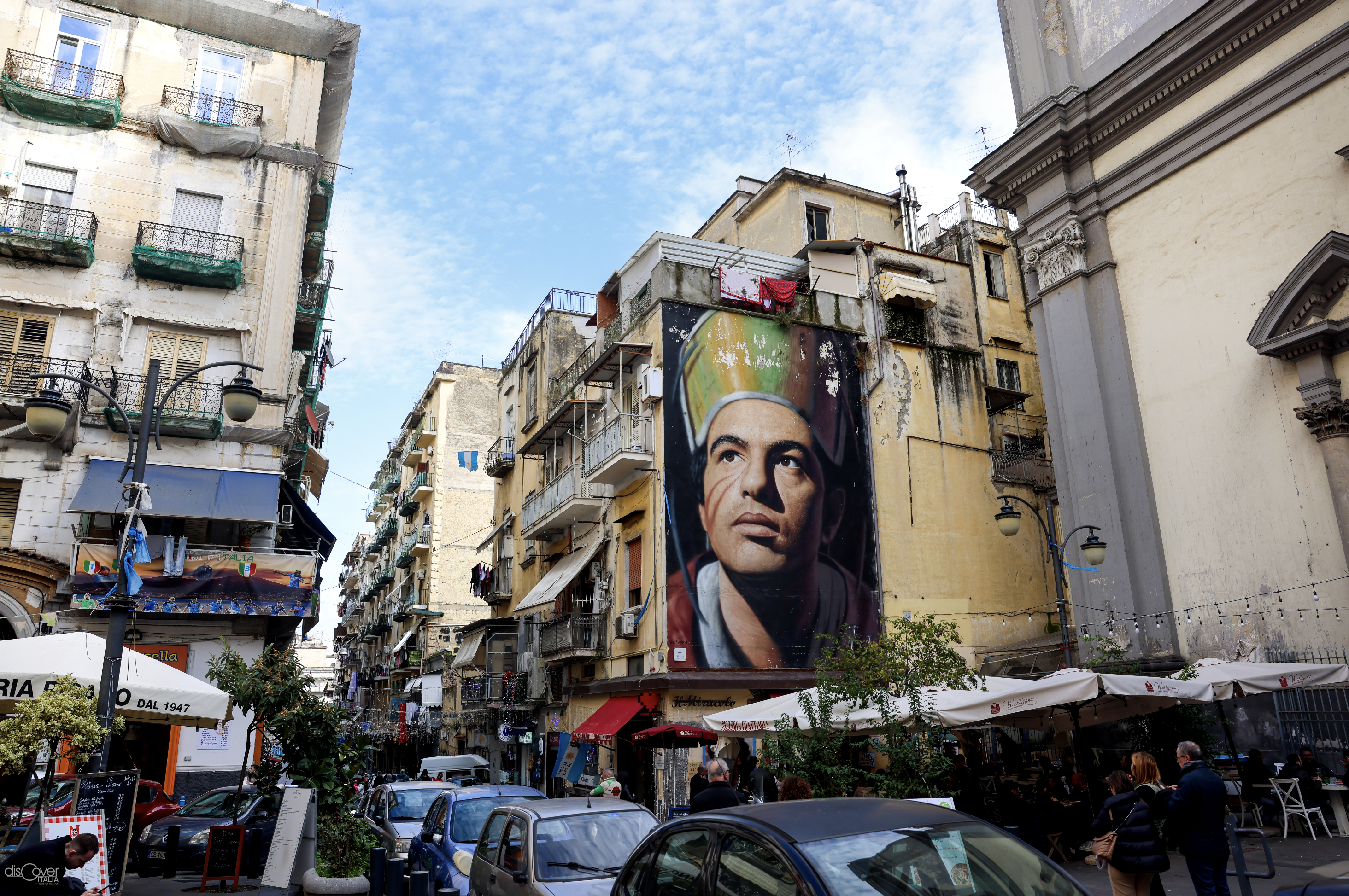
The Greek soul of Naples, preserved and handed down through the centuries, has also left an indelible mark on the urban layout of the historic city, which still today clearly shows the original network system of the plateiai and stenopoi, best known today ours in their Roman version of decumani and cardini.
It was precisely in the 5th century that the architect Hippolytus of Miletus designed a regular plan scheme to be applied in the foundation of new cities. It was the golden age of Athens and Attica in all fields of knowledge and urban planning was no exception, evidenced by the work of Hippolytus in Piraeus, which responded to his new intuition: streets arranged on orthogonal axes, to form regular blocks where buildings for the most varied functions and other public spaces can be allocated. And this was also the layout given to Neàpolis, the new city that the Cumans had founded at the end of the 6th century next to, to the north-east, the already flourishing Parthenope.
For the new settlement, a plateau sloping towards the sea was chosen, protected behind by hills and naturally delimited by natural canals, crossed by streams which also ensured a precious reserve of water. To defend the new urban area, where Partenope had previously begun to expand, powerful walls were built, using the widely available yellow tuff stone. Inspired by the Hippodamian scheme, three main streets were created from west to east, the plateiai, six meters wide and parallel to each other, which divided the city into four parts. The two on the sides were of identical length, while the central artery was longer. Perpendicularly to the plateiai, about twenty secondary roads, the stenopoi, were opened from north to south, three meters wide. The network of streets divided the city into rectangular blocks, 185 meters long and 36 meters wide. In the centre was the agora, the current Piazza San Gaetano, where, in the northern part was the sacred area identified by the temple of the Dioscuri (today the church of San Paolo Maggiore), while commercial activities were concentrated in the southern part with the market (the site that can be visited under the church of San Lorenzo Maggiore) and the main civil buildings.e already flourishing Parthenope.
The Greek layout remained almost unchanged even in Roman times. Only the names of the plateiai changed to decumani and the stenopoi to cardini and the agora became the forum.
The main street of the ancient city, the longest in the centre of the grid, was the Decumano Maggiore, today identifiable with the artery that starts from Port'Alba and Piazza Bellini, incorporates Via San Pietro a Majella and is largely identified with via Tribunali up to Castel Capuano.
Among the few changes introduced in Roman times, there was the lengthening of the Decumano inferiore in a south-west direction, or according to current toponymy after Piazza del Gesù Nuovo up to Via Domenico Capitelli. It is known as Spaccanapoli, due to the characteristics which, especially when observed from above, make it unmistakable among all the other city arteries. Following the current names, it includes via Maddaloni, via Benedetto Croce, via San Biagio dei Librai, via Vicaria Vecchia, via Forcella and via Giudecca Vecchia, as well as via Pasquale Scura, formerly via dei Sette Dolori, added in the 16th century to connect the center ancient to the new Spanish Quarters just built by the viceroy Don Pedro de Toledo.
The Decumano superiore is the one that has undergone the greatest transformations over the centuries, so much so that it now only partially corresponds to the Greco-Roman layout. It starts from via Sapienza and includes via Pisanelli, the Anticaglia road, via San Giuseppe dei Ruffi, via Donnaregina, via Santi Apostoli and part of via Santa Sofia.
The stenopoi/cardini, already numerous, correspond to the secondary streets of the historic centre, a World Heritage Site since 1995.
Among the best known, via San Gregorio Armeno, the famous "street of nativity scenes", connects Decumano inferiore to the Decumano superiore; Via San Nicola a Nilo and Via Nilo connect the Decumano maggiore to the Decumano inferiore, such as Vico San Domenico Maggiore, which emerges on Piazza San Domenico Maggiore; via Atri connects the Decumano superiore to the Decumano Maggiore.
The main one among the hinges, or cardo maior, the longest that crossed all three Decumani is identified with the current via Duomo, which was further extended towards the sea in the Bourbon era to guarantee a connection between via Foria and via Marina. Other changes occurred after the Unification of Italy until the definitive layout resulting from the Redevelopment, which also involved, to make room for the road, the sacrifice of some buildings and the reconstruction of the façades of the church of San Giorgio Maggiore and Palazzo Como, headquarters of the Filangieri Museum, due to the setback of the structures.


Comments powered by CComment